October Weather notes
I'll begin with a couple of radar images from the 13th.
This first shows the Doppler image, which is notable for the the dark red in the NW quadrant. This means the wind is so strong that the colour range has 'cycled' using the colour for very strong wind away from the receiver for the wind towards it. The same effect - with directions reversed - is evident in the couple of small patches of violet in the SE quadrant: not a good time to be out at sea.
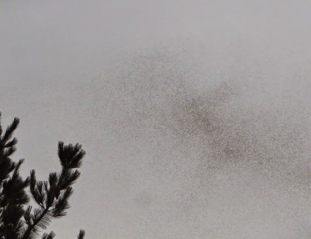
This is a lead-in to the radar image, showing one of our Yellow Box trees outlined against a storm for which the radar image is shown next.
In fact the storm slipped by to the SW of us and we got no effective rain from it. That segues nicely into the rain element of this report.
Rain
One could be forgiven for asking "What is this thing called rain?" The past month was the driest October since we have been here scoring a miserable 13.7mm.
Putting this in a wider context the next chart shows rainfall for each month to date of 2013 compared with 2012 and a 6 year average.
We are in a distinct dry spell, with only September recording a strong aggregate rainfall in the last 4 months (and much of that came in 1 day and thus ran off). Our garden sprinklers are getting a serious work out.
Temperatures
This section and the next are based on information from the Bureau of Meteorology recording station in Isabella Plains (aka Tuggeranong). This because my Davis weather station is having a stay in WSH (Weather Station Hospital) due to chewing through batteries like a fox meeting the Energiser Bunny.
It has been a funny old month. that is in the sense of funny-peculiar rather than funny-haha.
The maximum maximum of 31o on the 21st is not too surprising for October but had disastrous consequences in the Blue Mountains (thank you Australian Defence Forces). The minimum of 15.2 o on the 23rd was very odd- we don't often get minima that high in Summer - and for it to be followed by a nasty frost on the 25th was very unpleasant. It didn't damage our garden too much but on the Western edge of the Great Dividing Range it has seriously damaged the cereal and canola crops.
Wind
It has seemed that the past month has been very windy: we expect it in August -September but this it seems t have continued on forever. Here is the monthly chart of maximum wind gusts.
I couldn't immediately locate average data for the maximum gusts so the graph below shows the 3pm wind speed for the last 15 years compared with 2013.
That is the trouble with statistics: sometimes they spoil a good story (which is probably why our current Government hates statistics which so often destroy their pet theories). Clearly the "gales of the Equinox" usually continue on after the Equinox!.
This first shows the Doppler image, which is notable for the the dark red in the NW quadrant. This means the wind is so strong that the colour range has 'cycled' using the colour for very strong wind away from the receiver for the wind towards it. The same effect - with directions reversed - is evident in the couple of small patches of violet in the SE quadrant: not a good time to be out at sea.
This is a lead-in to the radar image, showing one of our Yellow Box trees outlined against a storm for which the radar image is shown next.
Rain
One could be forgiven for asking "What is this thing called rain?" The past month was the driest October since we have been here scoring a miserable 13.7mm.
Putting this in a wider context the next chart shows rainfall for each month to date of 2013 compared with 2012 and a 6 year average.
Temperatures
This section and the next are based on information from the Bureau of Meteorology recording station in Isabella Plains (aka Tuggeranong). This because my Davis weather station is having a stay in WSH (Weather Station Hospital) due to chewing through batteries like a fox meeting the Energiser Bunny.
It has been a funny old month. that is in the sense of funny-peculiar rather than funny-haha.
The maximum maximum of 31o on the 21st is not too surprising for October but had disastrous consequences in the Blue Mountains (thank you Australian Defence Forces). The minimum of 15.2 o on the 23rd was very odd- we don't often get minima that high in Summer - and for it to be followed by a nasty frost on the 25th was very unpleasant. It didn't damage our garden too much but on the Western edge of the Great Dividing Range it has seriously damaged the cereal and canola crops.
Wind
It has seemed that the past month has been very windy: we expect it in August -September but this it seems t have continued on forever. Here is the monthly chart of maximum wind gusts.
I couldn't immediately locate average data for the maximum gusts so the graph below shows the 3pm wind speed for the last 15 years compared with 2013.
That is the trouble with statistics: sometimes they spoil a good story (which is probably why our current Government hates statistics which so often destroy their pet theories). Clearly the "gales of the Equinox" usually continue on after the Equinox!.


Comments