2018 Weather Report
This a brief summary of the weather observed in Carwoola in 2018. The dominating feature has been the dryness of the year up to November as reflected by both rainfall and humidity. Temperatures were close to average, with a slightly colder Winter, and a sting of heat in late December.
The "number of days" series shows the gradual decline since 2011 that has been evident in my series of rolling accumulations up to 24 months.
As with BoM my minimum fall is 0.2mm, which can be achieved with condensation from a heavy fog, so I have also compiled a series of # days with more than 5mm. The chart below shows that to be more variable (RSE for the >;5mm series 21% vs 16%) but also emphasises the drop in the past two years.
I calculated the average cumulative proportion of annual fall and used that to give a pro-rata estimate of the annual total. As shown in this next chart for most of 2018 it seemed we were going to record the lowest ever annual fall , somewhat below 400 mm. However a series of heavy thunderstorms on 13-14 December delivered 87 mm and got us to 429 mm for the year.
That is also my conclusion in examining the average minimum x month for 2018 and the period since 2010. If pushed I might say a colder Winter (no cloud to keep temperatures up over night).
Rain
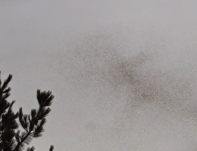
For those who can't remember this is water that allegedly falls from clouds. We had snow on two occasions in early August.
This first chart shows the annual total rainfall from 1985, and the number of days with >=0.2mm from 1993, to date.
As with BoM my minimum fall is 0.2mm, which can be achieved with condensation from a heavy fog, so I have also compiled a series of # days with more than 5mm. The chart below shows that to be more variable (RSE for the >;5mm series 21% vs 16%) but also emphasises the drop in the past two years.
I calculated the average cumulative proportion of annual fall and used that to give a pro-rata estimate of the annual total. As shown in this next chart for most of 2018 it seemed we were going to record the lowest ever annual fall , somewhat below 400 mm. However a series of heavy thunderstorms on 13-14 December delivered 87 mm and got us to 429 mm for the year.
As a final look at the rainfall, I compared the actual fall each month in 2018 with two forms of average. The first of these is the mean (add them up and divide by the number of observations) and the second the median (the amount which exceeds 50% of observations).
We only had above mean rainfall in December and only February and November also got above the median. In summary a very dry year. I am intrigued that the values for mean and median track closely from July to December but are more distant for other months. It suggests that the unusually heavy falls from storms occur in the first 6 months of the year (raising the mean but having little effect on the median) but I have no idea why that should be so.
Temperature
Maximum Temperatures
I have looked at three ways of assessing the warm end of the temperature scale: average daily maximum temperature over the year (right scale) ; highest temperature in the year; and number of days over 30oC (both left scale).
While the average maximum is a little down, the number of days over 30oC is a little up and the highest temperature is quite stable. Thus I would say that over all it was a relatively normal year for hot days.
I also assessed the average maximum x month against the average (since 2010).
My overall impression is that it was a relatively mild year with only two months noticeably above average.
Minimum temperatures
Again I used three measures: average minimum; lowest temperature for the year and number of days with minimum below 0oC.
It was a bit difficult to present this from a scaling view but neither of the thermal scale measures show any great deviation from 'normal', while the number of hard frosts is very erratic. My conclusion is "about normal".That is also my conclusion in examining the average minimum x month for 2018 and the period since 2010. If pushed I might say a colder Winter (no cloud to keep temperatures up over night).
Humidity
I have recently been compiling data for both 0900 and 1500 hrs. As both series are relatively short I have not shown annual averages but instead compare the values for 2018 and average for both times for each month.
The information is fairly clear, with the patterns for the two times very similar and in both cases the 2018 values below average until October - December where it approaches or exceeds the average.
The information is fairly clear, with the patterns for the two times very similar and in both cases the 2018 values below average until October - December where it approaches or exceeds the average.


Comments