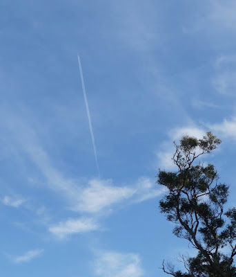
An aircraft sighting
Early on Christmas morning I saw a condensation trail overhead ...
.. and wondered where it was going. Flight Radar revealed it was a Jetstar Flight headed from Sydney to Launceston.
Looking more closely at the image positioned the plane over Nadgee, roughly 18.5 km away. Converting the Imperial measure, the height of the plane was 10,980m and given this made an angle of 90 degrees meant I could use a website to draw a triangle to figure out that a direct line to the plane was 21.5 km and I was holding the camera at 30.7 degrees
I shall wait for a non cloudy evening and repeat this exercise with a Hobart to Sydney flight, which uses a more Westerly flightpath, meaning the trails we can see are somewhere near Bonang, about 150 km away.


Comments