June Weather report
In brief (I was going to say "Summary" but that might be misleading) Winter has finally arrived, bringing with it some welcome rain in our area and some even more welcome snow to the ranges and ski fields.
(As a blast from memoryland one of the items I saw from the Department of Immigration before I emigrated in 1970 talked about the Australian ski-fields being larger than Switzerland. This will almost certainly be true most years in about August but the didn't mention that the permanent snowfields amount to about 20m2 on the shady side of Kosziosko!)
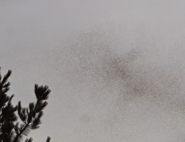
I don't have any snow scenes for you, but these two cloud images from the 30th, looking from Weston towards the Brindabellas are quite attractive.
OK: attractive in a rather Mordor sort of way!
Rain
My weather station recorded precipitation on 16 of the 30 days of June. Of those days, 6 were readings of 0.2mm, which can be attributed to a heavy fog. The heaviest fall - 32mm - occurred on the 14th and caused the Creek to go over the drive for the first time since it has been enhanced.
We do seem to be climbing out of the depths of the mini-drought of 2013.
While it is still early days we would need some seriously arid months to get back to the position of January 2014.
Temperature
My records don't go back far enough to look at a comparison with previous Junes but we did at least see a couple of solid frosts.
I am impressed by the length of some of the bars, indicating the difference between the temperature at 00:30 and 23:30. The yellow bars indicate the evening temperature higher than the early morning (most likely where cloud has come across to 'hold in' the warmth of a day. The blue bars show the converse, reflecting passage of a cold front.
12 days had a range >10oC (maximum range 14.9oC on the 7th. while 3 days had a range less than 5 oC (the most yucky being the range of 2.4oC - from 2.8 to 5,2 - on the 29th.
Humidity
A benefit of compiling these reports I that I get my attention focused on topics which I mightn't otherwise register. I was aware of the rain and (more or less) the temperature profile. However I was very surprised to notice that the 1700 Hrs relative humidity was less than 70% on only two days and over 90% on 6 days. the next chart compares the average relative humidity for each 30 minute reading in June 2014 and for my entire data set for all of 2014.
One could say a muggy month, but the low temperatures make it seem less oppressive.
Wind
I still cannot find a definitive way of presenting information about the wind.
This chart shows the maximum wind gust during the day and the average gust speed for each 30 minute period during the day. The pattern is very similar: a few windy days early in the month (frontal passages) and a period of sustained nastiness for the last week.


Comments