Rivers of the drive back

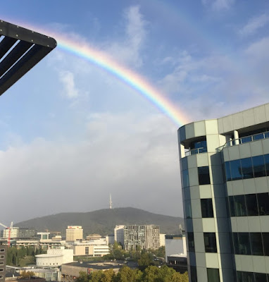
Our plan was to drive back on 24 March. We decided to stick to that despite knowing that: Mallacoota had scored (according to the BoM) 107mm of rain; The power was out (but due back at 1100 hrs); and Lakeside Drive was closed due to fallen trees. In Canberra the sun had come out, mixing with a final shower from the Brindabellas. I thought it would be interesting to take photos of the rivers we passed/crossed on the trip, to record how high they were. We didn't bother with the Molonglo as it was just brown and within its banks at Dairy Road. The first major stream was the Bredbo River. The safety barriers were a view-obstructing pain in the Jetta but the way the poplars are poking out of the water shows that it was well above normal. The Numeralla River was similar. I can remember seeing this much wider - on this trip the secondary channel was still dry. As we turned on to the Snowy Mountains Highway at Cooma a couple of buses passed in front of ...

