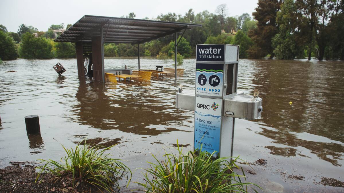
Its a bit damp at present.
Not as bad where we are (currently Canberra) as many places but still wet. A number of places on the coast North of Sydney have had over 800mm in the last week. Here is a map of rainfall for the week ending 16 March. it suggests that the soil was already well hydrated before this lot started.

Here is a map of rainfall for the last 7 days.

On our way up to Canberra we noticed that there was a lot of water in the Bombala River: that reflected rain about 50 km upstream on Brown Mountain.
Yesterday when I drove past Scrivener Dam water was being released in anticipation of what was to come.

Today (after 30mm yesterday and 13 mm so far today) they had dropped a sluice gate to allow more out.


Meanwhile to the South of Canberra a normally minor stream at Naas has been on the angry pills.

Rain is falling at Mallacoota but BoM has only recorded 2.8mm between 0900 and 1300, By 1900 that is up to 38mm since 9am That is approaching the low end of BoM probabilities.
Radar shows it all around us but getting diverted (possibly by the Howe range???)


Comments