Posts

Showing posts with the label bushfires

350 kms of different Greys

Image
On 12 February we returned to Mallacoota.  The weather was still grey but it was due to rain clouds rather smoke clouds.  The skyline of the Brindabellas was 'normal' rather than terminating at Tharwa. A different sighting - that was not grey, but possibly had a lot of blue associated with it  - was a massive number of cars parked in a paddock at Hume.  Then I twigged: this is one of the spots that hail-damaged cars have been stored. The ACT Government is doing its bit for progress by putting in a overtaking lane - on a dead straight bit of road where overtaking was quite possible anyway.  I guess it keeps Dale and Hosccks bottom line ticking along!  At least they were doing some work . The wire horses just over the NSW border have been decorated with Australian flags.  This is probably a symptom of the local MP adopting "brumby protection" as his signature policy.  The Northern part of the Clear Range fire.  You need a new over...
350 kms of Grey

Image
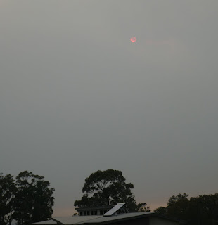
This covers our drive from Mallacoota to Canberra on 6 February 2020.  Mallacoota was quite smoky a couple of hours after sunrise. Here is a zoom to the sun. This shows our route imposed on a clip from the NSW Fires near me site.  The bit in Victoria could also be coloured grey but stupid State borders block NSW from showing that.  As close as I can work out the first 140 km of our route were through a fireground. Welcome to NSW!  It was very puzzling how some signs had burnt completely to brown, others in a similar position appeared untouched and yet others were burnt to various degrees. All the way along Imlay Rd (57 km) the forest had been cut back an extra 10 m on either side.  Thoughts about stable doors being closed sprang to mind. This shows some burnt low vegetation and an example of piled rocks,  There are quite a few of these, which I assume is someone having fun with a log grabber. Or a backhoe, when not cleaning out a culvert! ...

Back in Black

Image
Possibly "Back to Brown" would be more accurate but that isn't the title of an AC DC album.  Having got the word that the road to Mallacoota was open to residents we loaded up the car and left Bunda St about 1000 hrs on 21 January.  The load included doco to show we owned a house at Mallacoota. The drive down to Cooma was very dreary with dry hillsides in every direction.  Needless to say that continued on the way to Nimmitabel.  Which is normal for that area at the best of times.  However then a patch of green appeared.  Irrigation from a bore or have they had rain? Heading down Brown Mountain (as all roads South of Bombala are still closed, and the first "Road to Victoria Closed" was at the top of the mountain - about 100km from Eden) the mountains behind Bemboka were burnt out, which surprised me as I thought that area had suffered a wildfire only a couple of years ago. Getting close to the village and the fire had obviously jumped the road....

Getting back to Mallacoota

Image
We have settled on a routine of alternating vehicles for going to Mallacoota and this time it was the Jetta's turn.  It is only when trying to pack all the stuff (clothes, food booze, books etc) we take on a trip that one realises that the boot of the Jetta has a finite capacity.  But I have now got a plan to fit it all in. As it was still ski season we had speculated on the likelihood of Plod being active and had taken a guess at the number of cop cars we'd see between Royalla and Cooma. Frances went for 3 and I for 4.  In fact we only saw 2, and they were together running an RBT at Bredbo, where I gave - at no cost to them - a breath sample.  I passed! I had suggested going down Brown Mountain to have a look at the huge (12,000 Ha so far) bushfire burning to the East of Bemboka.  There is a lot of information and some spectacular photos on the Bemboka Notice Board Facebook page . Before getting to where the fire was visible I took a pepper steak pie at the...