Posts

Showing posts from February, 2020

350 kms of different Greys

Image
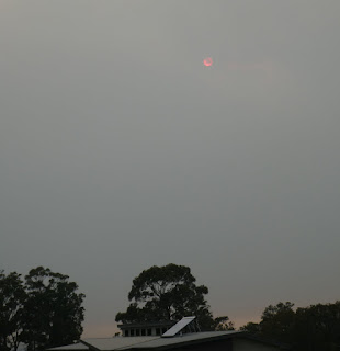
On 12 February we returned to Mallacoota.  The weather was still grey but it was due to rain clouds rather smoke clouds.  The skyline of the Brindabellas was 'normal' rather than terminating at Tharwa. A different sighting - that was not grey, but possibly had a lot of blue associated with it  - was a massive number of cars parked in a paddock at Hume.  Then I twigged: this is one of the spots that hail-damaged cars have been stored. The ACT Government is doing its bit for progress by putting in a overtaking lane - on a dead straight bit of road where overtaking was quite possible anyway.  I guess it keeps Dale and Hosccks bottom line ticking along!  At least they were doing some work . The wire horses just over the NSW border have been decorated with Australian flags.  This is probably a symptom of the local MP adopting "brumby protection" as his signature policy.  The Northern part of the Clear Range fire.  You need a new overtaking lane when the exist

350 kms of Grey

Image
This covers our drive from Mallacoota to Canberra on 6 February 2020.  Mallacoota was quite smoky a couple of hours after sunrise. Here is a zoom to the sun. This shows our route imposed on a clip from the NSW Fires near me site.  The bit in Victoria could also be coloured grey but stupid State borders block NSW from showing that.  As close as I can work out the first 140 km of our route were through a fireground. Welcome to NSW!  It was very puzzling how some signs had burnt completely to brown, others in a similar position appeared untouched and yet others were burnt to various degrees. All the way along Imlay Rd (57 km) the forest had been cut back an extra 10 m on either side.  Thoughts about stable doors being closed sprang to mind. This shows some burnt low vegetation and an example of piled rocks,  There are quite a few of these, which I assume is someone having fun with a log grabber. Or a backhoe, when not cleaning out a culvert! As we went into Bondi Cree